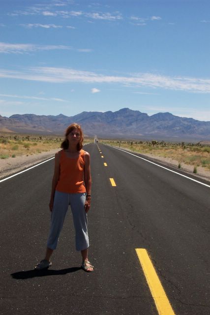
I'm back in Oakland, ending one of the best summers of my life and bracing myself for the 8-5 routine which begins tomorrow morning. Our trip from Taos to Oakland was marvelous. Fourteen daysexploring the back roads of the West, and fourteen days without an Internet connection, so no blogging.
There's lots to say about our trip and lots of images to share -- I'll backpost with experiences and photos if I get the time and inspiration, but somehow it isn't the same, now that I'm home. In case I don't get to more details, here is our itinerary:
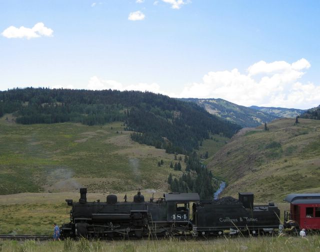
Taos to Chama, NM. Spent the night at Gandy Dancer B&B. Then took the
Cumbres & Toltec Railroad from Chama to Osier and back. It took us deep into the Chama River Valley for some of the most beautiful scenery, as well as back into time to when the West was settled. [photo below]
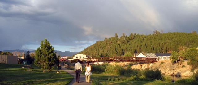
Chama, NM to Pagosa Springs, CO. This was just a stopover. Pagosa Springs doesn't have a lot in its favor except for the
Springs Resort, with 18 different hot pools of different temperatures and sizes, all overlooking the San Juan River. We almost had the place to ourselves at 7 a.m. [photo below]
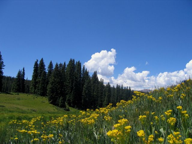
Pagosa Springs, CO to Gunnison, CO. We traveled up HWy 160 over
Wolf Creek Pass [photo below] for some more gorgeous and dramatic scenery. Then we turned onto Hwy 149 which is really a back road, stopped village of
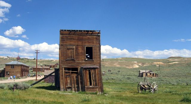
Creede, a not-quite ghost town set right against the edge of a canyon. Then through the mountains and a heavy rainstrom, Lake City and on to Gunnison. Not much good to say about Gunnison except for
Garlic Mike's Italian Restaurant, which could hold its own in San Francsico, but with the added advantage of sitting on the banks of the Gunnison River for dinner.
Gunnison, CO to Paonia, CO. Via the
Black Canyon of the Gunnison. [photo below] This canyon drops up to 2000 feet to the Gunnison River below and is much narrower than other canyons, such as the Grand Canyon. We explored both the southern rim and the northern rim.
The anchor of our itinerary was
Paonia, a small town on the Western slope of the Rockies where I lived as a young child, from about 1946-1951. We stayed at the
Bross Hotel, an upscale B&B which was a rundown rooming house for seniors in the 40s. the Bross transformation notwithstanding, Paonia has really not changed much in 50 years. The population was 1500 when I lived there; now it is 1600. There is still not a major store or restaurant, and and is the sleepy, slightly depressed town I remember from my early childhood.
Paonia, CO to Moab, UT, via
Grand Mesa, connected with I-70 and then the super-scenic route to Moab on 128, via the
Colorado River Gorge. Though all scenery must be described in superlatives, this day hit the top. I spent five years of my early life in the shadow of Grand Mesa, but never went there until last week. Since it is one of the world's scenic gems -- an oasis in a desert -- I can only attribute this omission to the primitive state the roads must have been in in the 40s and my mother's reluctance to drive on scary roads (which I have inherited. Thank goodness roads have improved in 50 years, or I would have to curtail my wanderlust).
We bypassed Grand Junction and headed straight for Utah and Hwy 128 through Cisco. I had taken this route before and wanted to show it to Jonathan. We hit the gorge in late afternoon, the river was flowing swiftly, the sun cast shadows on the rocks and it was this desert lover's heaven.
Spent the night in Moab at the Apache Motel, which brags of John Wayne staying there.
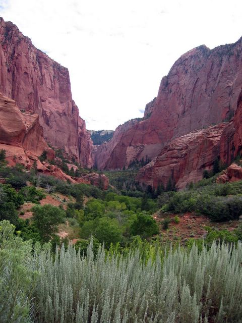
Moab, UT to Cedar City, UT. This was a straight ahead driving day across Utah on I-70, at least till we got close to Cedar City. We had to make choices about which of Utah's scenic wonders to inspect. In the end, we bypassed Canyonlands Arches, and Bryce and headed for Cedar Cedar City and
Zion National Park. [photo below] However, before we got there we turned off on Hwy 143 to
Cedar Breaks National Monument, a geological formation in the shape of an amphitheater 2000 feet deep and three miles in diameter. The experience was especially dramatic because we arrived in the midst of a rain/hail/sleetstorm. It was freezing cold so we went into the visitors' center, stood by the firs and watch the rain, fog and mist fill the red rocks of the amphitheater around us. In fact the storm was severe enough so that the road to Cedar City washed out and we had to take a detour.
...... to be continued.